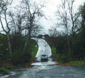
Update 2:45 p.m.: Viejas Grade in Alpine is closed at Willows due to an ATV accident with injuries.
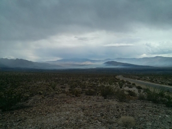
Photo by Brett Staubaum: Smoke from Borrego tree farm fire and thunderheads overhead
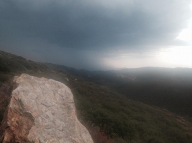
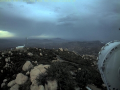
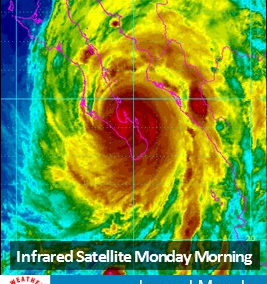
August 21, 2014 (San Diego's East County)--The National Weather Service has issued two separate flash flood alerts due to thunderstorms in the East County. This is the second day in a row of stormy weather; yesterday over 200 lightning strikes occurred countywide, including 95 on land and 129 over coastal waters.
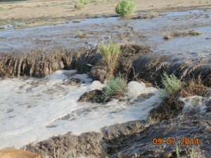
The first storm cell today was reported about 23 miles south of Borrrego Springs, and the cell is nearly stations. It is producing flooding on sections of the S-1, (Sunrise Highway), as well as Pine Valley. Some of these areas were burned during the Chariot Fire, so there is a danger of mudslides as well.
There is a second cell that is affecting I-8 and it is slowly moving towards the Mexican border. Both alerts are to remain in place until three this afternoon.
In addition, CHP reports a lightning fire in Borrego at the Borrego tree farm; a road closure in the area has been lifted now.


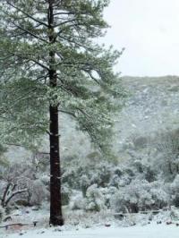
 nd food supplies in case you are stranded in traffic for several hours. Have snow chains for areas where they will be required. Public restroom facilities are limited...Be mindful of areas that are private property which are marked by signs and fences. Private property is off limits to the public for recreational snow activities.
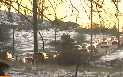


Recent comments