
By Karen Pearlman
May 20, 2026 (Jamul) — The future of state Route 94 is being mapped to better manage traffic, decrease greenhouse gas emissions (GHG) and keep the region moving more safely, but a recent presentation by the San Diego Association of Governments to the Jamul Dulzura Community Planning Group highlighted some disconnect between state-level planning mandates and the realities of traveling in and around East County.
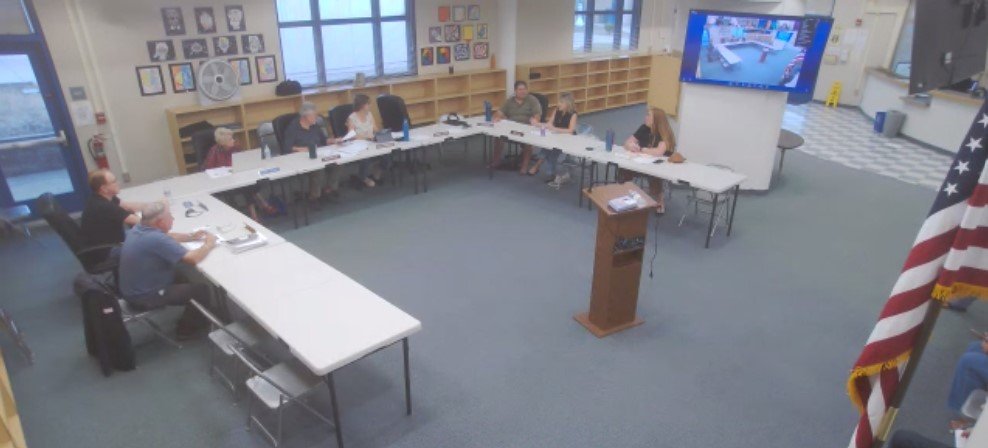
Screenshot of May 19 Jamul Dulzura Community Planning Group meeting
Several SANDAG officials visited the planning group on May 19 to outline the Comprehensive Multimodal Corridor Plan for SR 94, including project manager Paula Zamudio; regional planner Rubi Morales; Rachel Kennedy, the corridor planning manager; and Rachel Forseth, who leads public engagement.
SANDAG is framing the project as a vital “wish list” aimed at improving regional mobility and reducing GHG, but several times during the meeting, Jamul Dulzura planning group members pushed back sharply, citing concerns over public safety, evacuation capacity, outdated planning data and the reality of whether transit goals in a rural setting could actually be met
A CMCP primer
The SR 94 CMCP is part of a larger, data-driven regional strategy that looks ahead to 2050 that evaluates how to reduce vehicle miles traveled, (VMT) ease congestion, and improve active transportation and transit. The plan is fully funded through a mix of federal, state and regional sources, including California Senate Bill 1 funds, and is expected to be completed in 2027.
SB 1 is also known as the Road Repair and Accountability Act of 2017, a multibillion-dollar investment package designed to rebuild the state’s transportation infrastructure.
Zamudio said the CMCP represents a document that at least for the moment is operating without the challenge of specific dollars set aside.
“Unlike a regional plan, a CMCP has no funding constraints,” Zamudio told the group. “We’re able to document every project that communities want to see within a certain corridor without having to think about funding at this stage.”
Once these plans are approved, individual projects become eligible to compete for state and federal funding — such as SB 1 — to move from the planning phase into the regional transportation improvement program and, eventually, construction. The corridor under analysis runs from downtown San Diego east through Spring Valley, La Mesa, and Lemon Grove into unincorporated San Diego County, with the eastern terminus at the Jamul Indian Village (JIV).
Data and reality in conflict
A major friction point during the meeting was the agency’s reliance on state-mandated targets, specifically the reduction of VMT and GHG emissions. Planning group member Lucille Hargraves challenged the agency directly on whether those targets bear any relationship to the reality of life in Jamul.
“VMT per capita is expected to decrease over time (but for SR 94) I’d say, ‘What are you guys talking about?'” Hargraves said. “Your data shows you did not talk to anyone in the Jamul Dulzura CPG, because we could have told you that’s just blatantly not true.”
Zamudio acknowledged the point but said the targets are non-negotiable requirements of the planning process itself.
“Those decreasing VMT and GHG goals are requirements — that’s part of the work of completing CMCPs in the first place,” Zamudio said. “It’s not specific to any part of the county.”
Kennedy attempted to contextualize the regional picture:
“We know that travel is going to look different for people given the land use and the transportation options that are there,” Kennedy said. “Traveling for somebody who lives in Jamul is going to look different than for somebody who lives in downtown San Diego.”
She explained that the agency is looking at a broad suite of projects across the region that together are intended to help meet the state and federal targets — including cleaner vehicle technology and EV adoption — and that no single area is expected to carry the full burden.
Hargraves was unconvinced.
“Is that a dream or is there a reality possibly?” she asked. “I think there needs to be a reality check on that, because anyone who lives out here can tell you VMTs per capita should be expected to increase, not decrease.”
Jamul planning group member Preston Brown added that the cross-border traffic flowing through Jamul makes the region’s pollution profile uniquely difficult to address.
“The cars passing through Jamul are coming from Mexico — they’re completely unregulated,” he said. “They tend to be older (model cars), they don’t drive a whole lot of electric vehicles through here, and the inadequacy of the 94 to handle the volume means they’re loitering, idling, going through very slowly. It’s a lot of pollution from unregulated vehicles.”
Morales noted that the data reflects this regional complexity — traffic volumes on SR 94 drop off significantly by Spring Valley before increasing again as the corridor approaches the Jamul Indian Village — and acknowledged the cross-border dimension as a factor the analysis is working to capture.
Another flashpoint came when Hargraves pressed the SANDAG team on the source materials behind their analysis. The agency had referenced the Jamul-Dulzura subregional plan as part of its baseline — a document Hargraves said is out of date, and that it is from 2011.
Zamdio said that SANDAG is actively collecting prior studies from cities, the county and community planning groups, and encouraged the planning group to submit any materials the agency may have missed.
Safety concerns
The topic of safety on SR 94 in the further reaches of San Diego County was an underlying concern brought up several times.
Morales presented data from the Vision Zero action plan, which maps crash locations and identifies where the most traffic-related injuries and deaths occur in the county. She noted that the “systemic safety network” within the analysis area has more flagged segments in the urban parts of the corridor (from the city of San Diego through Lemon Grove and La Mesa) but confirmed that the eastern sections of the route carry their own concerns.
Planning group members pushed to make sure those concerns were heard
They asked specifically about the stretch from Jamacha and Campo Road east — past Steele Canyon High School and JIV territory and beyond — where the road narrows to a single lane in each direction.
“Along that state route in that eastern area right past JIV and beyond, there are fatalities on a regular basis in that small area,” one member said. “We have one lane in each direction, and that is a humongous safety issue because many people disregard the double yellow lines. We have those semi-trucks coming and going along that entire area.”
Brown placed that danger in stark terms: “That 10-mile stretch going east — it had the highest average fatalities per mile of any 10-mile road section in California. That’s how bad it is.”
Local safety data indicates the stretch Brown refers to has historically carried a fatality rate nearly six times higher than the San Diego County average. According to the San Diego County Traffic Advisory Committee, crash rates on certain segments of SR 94 have historically exceeded statewide averages for similar rural two-lane highways, with some stretches seeing collision rates of approximately 7.24 crashes per million vehicle miles.
Brown went further, pointing to the absence of the most basic infrastructure.
“Is your corridor going to include (freeway) shoulders and bike lanes? Because we have neither,” Brown said. “Part of our problem is that when there are accidents, you can’t even pull off the road — there are no shoulders. People who park off-premises for the casino walk to it, but there’s no shoulder to walk on, so they’re on the street.”
Morales said the team had heard similar feedback at another recent meeting and is tracking those comments. “We’re taking those comments as well — let us know the exact location or section where the shoulder could be wider.”
Morales confirmed that when her team had not yet done a full breakdown of that specific eastern segment and Forseth directed the group to the online feedback portal to pin those exact locations.

Brown also asked whether the corridor plan accounts for the road’s role as an evacuation route in a high-severity wildfire zone (see screenshot from SANDAG presentation, right) — and whether the capacity analysis includes the population drawn to the area by the Jamul Casino.
“Have you included the capacity of the Jamul Casino as far as emergency evacuation goes — and just transportation in general?” Brown asked. Another planning group member noted that the casino effectively doubles the population the road must handle in an emergency scenario.
Morales said that SANDAG would be “taking a closer look at all your suggestions.”
Hargraves added that the agency’s agency coordination team, which will ensure local input is considered, should not terminate at the Jamul Casino, with a large portion of the community extending beyond it.
Morales also acknowledged that the eastern sections of the corridor fall within “high fire-severity zones,” and noted that fire stations become more sparse the more east travelers go, and said they were aware of the resilience concern.
Zamudio said SANDAG is conducting a separate sub-analysis specifically for the segment from the casino south to the Tecate border after Brown pressed the team to confirm that cross-border commuter patterns from Tecate were going to be factored in.
“We are looking at border crossings absolutely,” Zamudio said. “We’re working with groups including INEGI on the Baja California side to make sure we include that Tecate data.”
She said that the data from the Mexican side of the equation will likely not match the precision of domestic sources in California but said the agency is committed to incorporating it.
For residents who want to get involved
Community feedback is essential for shaping what the plan ultimately recommends, the SANDAG leaders shared. The agency is actively gathering input before it returns to the public in fall/winter with proposed solutions. There are also more community meetings that will take place as the plans solidify.
“We want to hear your feedback through this portal so we can document your exact words and pinpoint the location of the intersections you’re referencing,” Forseth said. “Data plus feedback is really important for us to be able to create the proposed solutions for this plan.”
A draft plan is expected in late winter or early spring of 2027.
For more information on the SR 94 CMCP, including ways to reach out to SANDAG, visit this link.
To stay informed on SANDAG news, visit this link.