By Miriam Raftery
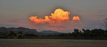
File photo: Thunderclouds over Lakeside, by Billy Ortiz
July 18, 2014 (San Diego’s East County) – An upper level trough over the Gulf of California tonight will move northward across Northern Baja, then sweep into Southern California tonight and Saturday. Thunderstorms with dry lightning are possible on Saturday morning, mainly over the mountains. Heavy rain producing thunderstorms are more likely to occur during the afternoon and early evening hours.
Lightning may ignite fires and heavy rain could produce localized flooding. Downdraft wind gusts of 35 mph or more are possible during the storms.
Forecasters also warn of high heat next week, when a large area of high pressure will build over the West, bringing warming each day Tuesday through Thursday. By Wednesday and Thursday, maximum temps will be 5-10 degrees above average, soaring into triple digits in desert areas.


Recent comments