By Miriam Raftery
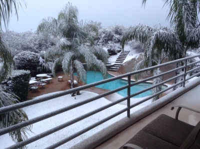
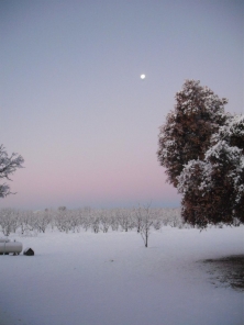
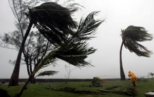
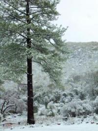
December 31, 2014 (San Diego’s East County) – A thick blanket of snow has fallen across much of San Diego’s inland region, transforming the terrain into a winter wonderland this New Year’s Eve. Lindy Klengler sent photos taken at her Hidden Meadows home in Escondido at just 1700 feet elevation, showing snow around her swimming pool and atop palm trees. “Been here 22 years and never had this happen,” she says.
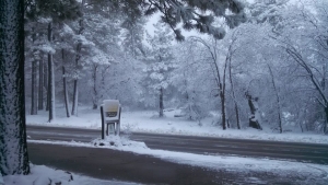
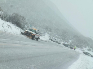
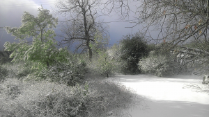
Melody Munoz and Donna Tisdale sent photos from Boulevard, where three to four inches of snow fell overnight and the temperature on New Year’s morning is a chilly 21 degrees. Snow has also blanketed Descanso and coated landmarks in Jacumba.
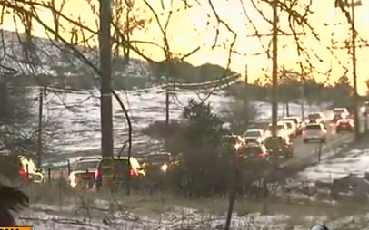
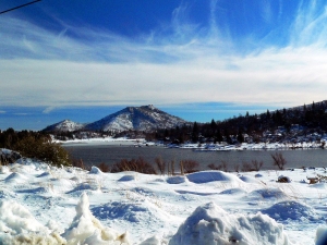
Julian received 9 inches of snow and on Mt. Palomar, 12 inches—a foot—has fallen, according to the National Weather Service. ECM news partner 10 News observes that level “beats Big Bear!”


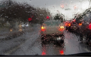
 nd food supplies in case you are stranded in traffic for several hours. Have snow chains for areas where they will be required. Public restroom facilities are limited...Be mindful of areas that are private property which are marked by signs and fences. Private property is off limits to the public for recreational snow activities.


Recent comments